
The Planning App is for Planners, Realtors, Attorneys and others who are interested in land, land use and zoning. This includes links to Tax information.

The Tax Property Portal provides users with mapping and detailed property information for real estate within Forsyth County.
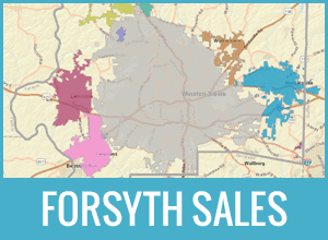
The Forsyth Sales App provides users with Residential and Commercial Sales in Forsyth County, NC since Jan 1, 2021. Sales data in this app is updated weekly.
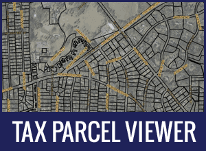
The Tax Parcel Viewer provides users with property tax maps and links to Detailed Property Information for real estate property within Forsyth County.
We cannot guarantee uninterrupted access. We do not have the resources to provide 24/7 support for the site. If a problem occurs at night or on the weekend, it will not be detected until normal business hours. We will make every effort to have the site available from 8:00 am - 5:00 pm, Monday thru Friday, excluding holidays.
Related City/County Websites
Online Tools


County Services